
First-ever Biodiversity map of South Caucasus presented in Georgia
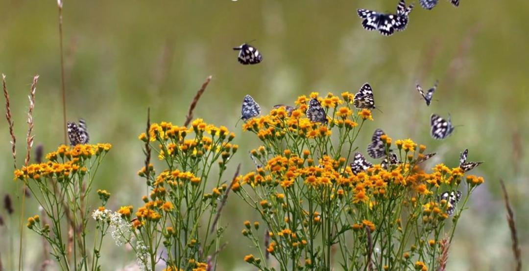
On 28 September, the first-ever illustrated map of biodiversity across the South Caucasus region was presented at the Museum of Georgia in Tbilisi, reported agenda.ge. The map is a result of cooperation between the German Society for International Cooperation (GIZ), the National Geographic Magazine and the Georgian National Museum.
The map is the pinnacle of the GIZ Integrated Biodiversity Management in the South Caucasus project, which started in 2015. The project aimed at improving the management of biodiversity and ecosystem services, coordinated across various sectors in all three countries of South Caucasus. Of special importance to the project are the sectors of forestry, livestock and arable farming, nature conservation and tourism. According to the GIZ, there is too little coordination and reliable data for these sectors between the various state and non-state actors, and population groups. The project was undertaken in the regions of Aragatsotn, Shirak and Sisian in Armenia; Ismayilli and Shamekhe in Azerbaijan; and the Kakheti region in Georgia.
According to the Status and Protection of Globally Threatened Species in the Caucasus, issued Critical Ecosystem Partnership Fund in 2009, the Caucasus Hotspot is one of 34 biodiversity hotspots in the world. The hotspot spans 580,000 km2 of mountains in Eurasia, between the Black and Caspian Seas. The hotspot includes all of Armenia, Azerbaijan and Georgia, the North Caucasus portion of the Russian Federation, north-eastern Turkey and part of north-western Iran. The Caucasus biodiversity hotspot has the greatest biological diversity of any temperate forest region in the world, including more than 6,500 species of vascular plants, at least 1,600 of which (25%) are unique to the region. Its forests, high mountains, wetlands, steppes and semi-deserts contain more than twice the plant and animal diversity found in adjacent regions of Europe and Asia.
Biodiversity of the Caucasus is being lost at an alarming rate. On average, nearly half of the land in the hotspot has been transformed by human activities. The plains, foothills and subalpine belts have been the most heavily impacted. Native floodplain ecosystems remain on only 5-6% of their original area. Most natural old growth forests have been fragmented and divided mostly by areas of commercial forests, as well as agricultural and developed lands. For the Caucasus as a whole, about a quarter of the region remains in reasonable condition, while around 10-12% of the original ecosystems, including forests and high mountains, can be considered pristine. The major threats to biodiversity in the region are legal and illegal logging (mostly for fuel wood and timber trade), overgrazing, poaching, overfishing and illegal wildlife trade, infrastructure development; and pollution of rivers and wetlands.
Nachricht,
Gesellschaft,
Georgien |
South Caucasus, Georgia, Georgian National Museum, GIZ, National Geographic Magazine, Museum of Georgia
Siehe auch
"Georgischer Traum" beschleunigt Änderungen am Gesetz über Stiftungszuschüsse
Zakharova verteidigt Russlands Rolle bei der Beilegung des Bergkarabach-Konflikts und spricht über die Beziehungen zu Armenien und Aserbaidschan

Kotscharjan fordert eine „ausgewogene“ Politik gegenüber Russland und einen „pragmatischen“ Ansatz in der Außenpolitik

Armenien ändert Wahlgesetz, um Stimmenkauf zu unterbinden